Showing posts with label St. Joe Road. Show all posts

Wednesday, December 2, 2015

Grave Matters: Cholera and Amanda Lamme

Chimney Rock and Scott's Bluff on horizon
A couple of days wagon trip from Chimney Rock, Nebraska stands a memorial marker to Amanda Lamme.  Ben and I almost whizzed by it on the road to Montana, but we decided to stop and take some pictures.  The marker tells how Amanda Lamme died of cholera and was buried near here on 23 June 1850.  She was the young wife of M.J. Lamme, just 28 years old.  They started out from Boone County, Missouri and were headed to California with their two daughters.

Historical marker about a mile from gravesite

Amanda's Story


Amanda was born on 22 February 1822 in Missouri to Thomas and Anna Maupin.  Thomas was at one time the sheriff of Boone County in central Missouri.  She was married to May Jackson "Jack" Lamme in August 1841 in Boone County.  They had two daughters, Laura (born November 1843) and Alcis (born 16 July 1847).  Some accounts mention a third daughter (Frances Anne), but I can find no record of her in any official documents that I could locate.

1850 Census lines (cropped with titles from top of sheet) for
Maupin-Lamme families


Amanda's broken original marker, and 1912 marker
They struck out from Marthasville, Missouri in April 1850 with the Maupins, passing through Independence, the Gardner Junction and on 28 May were crossing the Big Blue River at Independence Crossing south of Marysville, Kansas.  Cholera made its first appearance north of Marysville at the Little Blue River in Nebraska.  On 08 June, they made it to Fort Kearny, Nebraska.  Jack mentioned in a letter to his mother that he was worried about cholera on the trail and had passed several fresh graves. On 20 June, the Lamme-Maupin group pulled into Ash Hollow campground for rest.  After resting for a day, the families moved on, but Amanda fell ill on 22 June, suffering torturous abdominal cramps, fever, and diarrhea.  Hoping to get her to fresh water at Pumpkin Creek, Jack put Amanda in the wagon, made her as comfortable as possible and pushed the family west with all possible haste.  However, on 23 June 1850, Amanda became one of nearly 4000 pioneers that would die of cholera along the trail.

Jack Lamme and Thomas Maupin found a grove
1912 marker
of trees between the trail and the Platte River, dug a grave and buried Amanda.  They marked the spot with a board from the wagon and carved "AMANDA" into it with a knife according to one source.  A good deal more must have been written on the board, because on 30 June 1850, Micah Littleton noted a grave marked "Amanda Lamme, June 23, age 28, Boon Co., Mo.".  The wagon train continued west, but Jack went back to Fort Kearny and bought a headstone for his wife.  According to legend, he loaded the stone into a wheelbarrow and walked it back to the grave from Fort Kearny, a distance of some 200 miles.

Jack would catch back up to the family wagons and in October 1850, they pulled into Marysville, California.  In the 1860 US Census, the girls were living with the Maupins and in the 1870 Census Alcis' last name is listed as Maupin.  Jack mourned for Amanda for a long time, going back to Boone County in 1858 where he married Semiramis Echols on 02 April.  They had two children, Joseph born 1861 and Ida, born about 1860.  Alcis married Howard Cunningham and died in San Francisco 03 January 1918.  Laura Lamme was married on 29 March 1871 in Buchanan County, Missouri to William Burton White.  William died on 02 January 1878 and Laura never remarried.  She died 05 May 1923 in Alameda, California.

Amanda and Jack's marriage record from Boone Co., MO

A new marker


Nebraska Territory was opened up to permanent settlement in the 1850s and free-ranging cattle in the area trampled and broke the marble headstone bought by Jack.  Locals remembered the old marker and gathered what they could find and tried to piece together what the old marker said.  What they came up with was:

AMANDA
Consort of M.J. Lamin
of Devonshire, Eng.
Born February 22, 1822.
Died June 23, 1850, of Cholera.

Amanda was born in Missouri and her parents were born in Kentucky.  It seems entirely likely that the well-intentioned citizens of Bridgeport found the remains of two markers and tried to cobble them together into one cohesive marker.  Allowing for the damaged name, everything jives, except for the birthplace.  Another pioneer from Devonshire, England must have been buried in the same grove of trees.  It is prescient since I know that her husband's family was originally from Devonshire, and it is likely that her family was as well.

Living in a time of cholera


1800s medical text illustration of effects of cholera (right) on a patient
Cholera is a bacterial infection that induces a massive watery diarrhea, transmitted by contaminated drinking water or foodstuffs contaminated with fouled water.  The diarrhea is copious, almost beyond understanding pumping an amazing 2 liters of water out of the body each hour.  Without fluid replacement, the blood increases in viscosity, making it increasingly difficult for the heart to push blood through the circulatory system, leading to shock and collapse of vital organs.  The eyes become sunken, the skin wrinkled, cramps result from loss of minerals and fever spikes.  Death often takes place within hours of symptom onset.

Vibrio cholerae bacterium
The cause is a comma-shaped bacteria called Vibrio cholerae.   When the bacteria is exposed to stomach acid, it signals the bacterium to start making a toxin that causes cells to pump chloride ion into the intestine, pulling water along with it.  The cells lining the intestine are shed into the water passing through resulting in rice-water stools.  It costs less than $1 in materials to support a patient with cholera.  Water with a bit of sugar and salt to replace lost fluids is all that is required.  The patient will pass so much fluid that it will flush the bacteria out of the gut (self-limiting).

Cyclops copepod
The bacteria can persist in the environment for a long time, because they can live inside copepods (small aquatic organisms) in slow moving streams.  People drinking this water without filtration or treatment can swallow the copepods and release the bacteria. If you hold up a jar of pond water to the light, the little white specks that flit around are probably copepods.  Over 250,000 cases of cholera still occur world-wide each year, mostly in sub-Saharan Africa.

"In wine there is wisdom, in beer there is freedom, in water there is bacteria" - Benjamin Franklin


Second Asiatic Cholera Pandemic


Route of spread of cholera from India to Americas in 2nd pandemic
The second pandemic of cholera originated in India in about 1829 and spread through the United States in 1832.  The second major epidemic in the United States started in about 1849, corresponding with a major gold rush to California and the Mormon migration to Utah.  This epidemic of cholera was a major cause of death of westward emigrants from 1849-1851.  

A collapse of the United States economy in 1837 drove people from the east to the west with the prospect of a new start and cheap land.  Using a trail first pioneered by fur traders to the Oregon country, a trickle of emigrants began using the trail from Independence, Missouri to Oregon in 1836.  Soon, each spring found the population of Independence swelling several-fold, as the emigrants began staging for the trip west, waiting for the grass on the prairie to green enough for the grass to support grazing animals.  Once the conditions were right to move on, wagons waited in line for days to travel the ferry across the river.

Mosquito Creek by trail campground near Troy, KS
Such a great concentration of individuals in one place, with fecal material running into water also used for drinking, created the perfect conditions for diarrheal diseases in Independence and outlying trail areas.  Most of the trail campgrounds that I have visited are bowl shaped, affording protection from wind, but also directing flow of human sewage to the slow-flowing streams that were a major attraction to the emigrants.  Few emigrants would escape diarrhea or dysentery along the trail.  Typhoid fever broke out several places on the trail, becoming a leading cause of death in Kansas Territory.  When cholera came to the United States, epidemics rapidly broke out on the emigrant trails to Santa Fe, Salt Lake City, Oregon and California; the faster flowing water past Fort Laramie nearly eliminated cholera cases by that point.

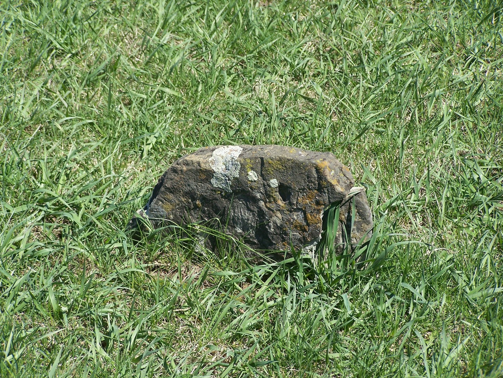
Native stone markers in Courter-Richey Cemetery on St. Joe Road
Cholera and overcrowding in Independence pushed emigrants to points further north at Saint Joseph, Missouri and old Fort Kearny (now Nebraska City), Nebraska.  Saint Joseph was incorporated in 1842, becoming a boomtown in 1849 as people flocked to California in search of gold.  Cholera outbreaks in Independence pushed a majority of the ‘49ers to the Saint Joseph trailheads.  No cholera outbreaks occurred in Saint Joseph, but many emigrants began to die from cholera within a day after hitting the trail.  Several small cemeteries in the Northeast Kansas countryside were started as burial grounds for cholera victims.  Many graves marked with native stones are thought to contain the bodies of cholera victims.

Mosquito Creek campground area near Troy, Kansas
About one of every 200 emigrants kept some kind of record of their travel.  Some wrote extensively about each day’s events; others simply kept lists of miles traveled, major landmarks passed, numbers of dead animals or graves passed.  In May of 1850, James Campbell noted a total of 16 graves along the Saint Joseph Road from 1849, while only 4 graves from 1850 were noted.  Emigrants of 1852 noted another bad cholera year.  The May 18, 1852 entry in John Hawkins Clark's diary noted:

“Camped last night on the bank of the Nemaha river, and this morning were called upon to bury a man who had died of cholera during the night. There have been many cases of this disease, or something very much like it; whatever it may be it has killed many persons on this road already. Yesterday we met two persons out of a company of five who left St. Joe the day before we did; two had died, one left on the road, sick, and the two we met were returning. There are many camps on the banks of this river; many are sick, some dead and great numbers discouraged. I think a great many returned from this point; indeed, things look a little discouraging and those who are not determined may waver in their resolution to proceed. This afternoon we passed the graves of a man and woman; the former was marked for seventy-four years.”


Native stone likely marking a cholera victim's grave in
Courter-Richey Cemetery
Many people commented on the speed and severity of the cholera symptoms.  People who were well at breakfast were taken sick at lunch and dead by supper.  Lydia Allen Rudd was traveling along this same stretch of trail on May 14, 1852 and wrote the following:


“Just after we started this morning we passed four men diging a grave.  They were packers  The man had died was taken sick yesterday noon and died last night.  They called it cholera morbus  The corpse lay on the ground a few feet from where they were diging  The grave it was a sad sight…. On the bank of the stream waiting to cross, stood a dray with five men harnessed to it bound for California, They must be some of the perservering kind I think Wanting to go to California more than I do…We passed three more graves this afternoon.”

These were hardly unique experiences.  Some estimates put the 1849 death toll at between 1500-2000 and the 1850 cholera death count at over 1000.  Ezra Meeker suggested that the count was closer to 5000 in 1850 noting that the dead were often buried in rows of 15 or more. 


Six Degrees....


George IV Boone's will mentioning Dinah
Amanda Lamme's husband Jack was a great-grandson of Daniel Boone.  This would make Jack and his children distant cousins to us through my Grandpa Shafer's family.  Amanda was a cousin to Ben and me by marriage.  My 9xgreat-grandfather, George Boone III was Daniel Boone's grandfather.  My 7xgreat-grandmother was George Boone IV's daughter, Dinah Boone; she was Daniel Boone's first cousin.  Stopping for a seemingly random marker not only gave me material for my Geography of Disease course, but brought us into touch with a distant relative.  It makes sense.  It would take some kind of stubborn to push a wheelbarrow with a heavy marble marker 200+ miles to mark a grave.  That sounds like us.

Getting There


The Amanda Lamme gravesite is about 600 meters northwest of the intersection of US-385 and NE-92.  It is on private land, so you must get permission to visit.  You might be able to see the marker from roadside with a pair of binoculars or a good zoom lens.  The roadside historical marker is about 1.25 miles northwest of this intersection on combined Scenic US-385/NE-92.  This is west of Broadwater but southeast of Bridgeport, Nebraska.


Gravesite Waypoint: Latitude 41.605433 N; Longitude 102.9802684 W (private land)
Historical Marker Waypoint: Latitude 41.612911 N; Longitude 103.003697 W

Further Reading


Amanda Lamme


Wednesday, November 11, 2015

XP: Hollenberg Pony Express Station

Ben approaching the station from the south
I'd bet that just about every American has heard of the Pony Express.  Most know that it was a system of carrying mail between St. Joseph, MO and Sacramento, CA utilizing a network of stations to switch out horses every 10-15 miles and riders every 75-100 miles along the way.  This allowed mail to be delivered to California from Missouri (and vice-versa) in 10 days, much faster than the trip by steamer around the tip of South America.  Few realize how little time the venture existed, lasting from 03 April 1860 to October 1861, just a little more than a year before being outdone by the telegraph.

Very few of the 163 Pony Express stations remain evident much beyond a historic marker at the site.  Only one Pony Express station remains in its original configuration and on its original site: Hollenberg Pony Express Station near Hanover, KS.  It is fairly simple to get to from St. Joseph, since US-36 roughly travels the Pony Express route to Marysville, KS (120ish miles).  Hollenberg Station is only a few miles northwest of Marysville.  We have been there several times over the years and it is worth the stopover if you are traveling towards Colorado from St. Joseph.

Cottonwood Ranch


North side view of Hollenberg Station
As with most of the Pony Express stations, Hollenberg Station was not built with the Pony Express in mind.  The trail used by the Pony Express was used by a variety of travelers.  It had been used as part of the Oregon-California trail since the 1840s, it was used as a stagecoach route by several businesses and was part of the military road to Fort Kearney.   Hoping to cash in by selling supplies these travelers, Gerat H. Hollenberg built this stopover on Cottonwood Creek in 1857.  A trail campground was to the south of the building, a blacksmith's shop was set up to the southeast  repair wagons that had broken, and there was a barn that could house 100 horses.  The original ranch house had six-rooms and served as the family's quarters, a tavern, hotel, general store and unofficial post office when it opened.

The station is mentioned briefly as "Cottonwood" in Mark Twain's book Roughing It loosely based on his summer 1861 trip with brother Orion to Carson City, NV.

"The Sphynx was a Sphynx no more! The fountains of her great deep were broken up, and she rained the nine parts of speech forty days and forty nights, metaphorically speaking, and buried us under a desolating deluge of trivial gossip that left not a crag or pinnacle of rejoinder projecting above the tossing waste of dislocated grammar and decomposed pronunciation!
How we suffered, suffered, suffered! She went on, hour after hour, till I was sorry I ever opened the mosquito question and gave her a start. She never did stop again until she got to her journey's end toward daylight; and then she stirred us up as she was leaving the stage (for we were nodding, by that time), and said:
'Now you git out at Cottonwood, you fellers, and lay over a couple o' days, and I'll be along some time to-night, and if I can do ye any good by edgin' in a word now and then, I'm right thar. Folks'll tell you't I've always ben kind o' offish and partic'lar for a gal that's raised in the woods, and I am, with the rag-tag and bob-tail, and a gal has to be, if she wants to be anything, but when people comes along which is my equals, I reckon I'm a pretty sociable heifer after all.'
We resolved not to 'lay by at Cottonwood.'" - Mark Twain in Roughing It

Gerat Henry Hollenberg
Traffic on the trail slowed greatly with the beginning of the Civil War and the demise of the Pony Express.  Changing fortunes meant changing plans, and Gerat Hollenberg turned his attention to farming, raising cattle and grain.  Emigrant traffic stopped almost altogether as railroads were built and connected people to the Big City and the West Coast in relative comfort.  Hollenberg made a great deal of money in real estate, and founded the town of Hanover, KS.  He provided monetary donations to build churches and government buildings in Hanover and spent three terms in the Kansas legislature before his death in 1874.

The station became a farm house and was used as such until the property was purchased by the Kansas legislature in 1941.  The station building has remained unchanged, allowing for replacement of worn out materials and has never moved from its original foundation.  Hollenberg Station was placed on the National Register of Historic Places in 1961 and has been operated as a museum by the Kansas State Historical Society  since 1963.

Getting There


Back of the station from the southwest
US-36 is the nearest major thoroughfare to the site.  Turn north onto K-198 for 4 miles, then east (right) on K-243.  The visitor center is open April-August on Wednesday-Saturday from 10 AM to 5 PM.  They are closed September-March and on state holidays.  A small admission fee is charged for the museum and to tour the inside of the building ($3 for adults, $1 for students, children under 5 years free).

Waypoint:  Latitude: 39.900945 N, Longitude: 96.843780 W

Street Address: 2889 23rd Rd, Hanover, KS 66945


View of the station from the visitor's center

Further Reading


National Register of Historic Places Application

Kansaspedia Hollenberg Station entry

Hollenberg Station Official Site